TOPIC TAG

Disaster Preparedness

Explore articles related to Disaster Preparedness, with context and source links for further reading.

← All tags

Articles about Disaster Preparedness

10 articles
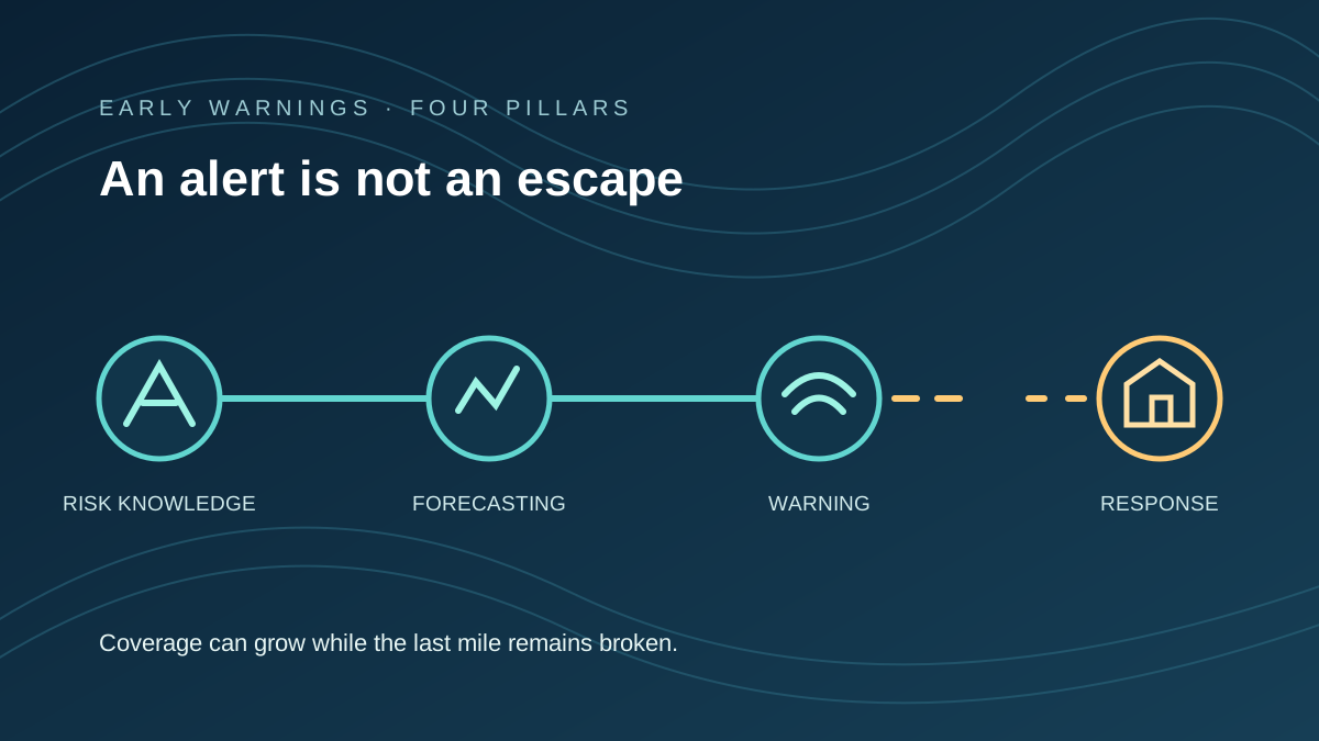
Abstract four-stage disaster warning pathway, with the last link interrupted before reaching a shelter.
Environment • Climate Adaptation & Public Safety

Early Warnings Are Expanding. Reaching People Is Not the Same as Keeping Them Safe.

More countries report early-warning capacity, but a draft four-pillar count and new survey evidence reveal the distance between an alert and an actionable escape.

Early Warning SystemsDisaster Preparedness
6 min read ↗
Original abstract vector artwork showing layered rain bands sweeping across stylised hills and a winding river toward a wave-patterned coast, using geometric shapes and no map, flag, portrait, logo, photograph or external asset.
World • Vietnam · Weather

Vietnam Central Heavy Rain Warning: Locally Over 700 mm Expected 9–11 November

Vietnam’s weather agency expects 250–450 mm of rain in Hue, Da Nang and eastern Quang Ngai from November 9 to 11, with isolated totals above 700 mm and flood risks downstream.

VietnamCentral Vietnam
6 min read ↗
An original vector illustration showing a preparedness backpack, a water bottle, a radio, flashlight, documents and a prominent 72 HRS label. This is not an emergency alert.
World • BRAZIL / DISASTER PREPAREDNESS

Brazil's 72-Hour Emergency Kit: What the Civil Defence Advice Actually Says

Brazil's civil-defence service recommends supplies for three days, not a countdown to disaster. Here's what to pack and how to tell prevention advice from real weather warnings.

BrazilCivil Defence
6 min read ↗
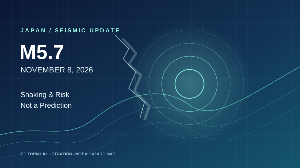
Original abstract seismology-inspired vector art. Layered navy-blue fields, teal contour lines and concentric wave rings convey tremor and preparedness, not actual earthquake locations or measured intensity.
World • JAPAN / EARTHQUAKE & RISK

Japan's M5.7 Earthquake: What the Shaking Means—and What It Does Not Say About the Nankai Trough

A magnitude 5.7 earthquake struck western Shizuoka on November 8. Strongest shaking was in Aichi, injuries and rail disruption were reported, and JMA cautioned against reading the event as a Nankai Trough prediction.

Japan EarthquakeShizuoka
6 min read ↗
Original abstract illustration of spiralling tropical-cyclone bands approaching two small island markers on a dark blue ocean field; a conceptual graphic, not a forecast track or geographic map.
Environment • Japan · Tropical Cyclones

Typhoon Cempaka Strengthens as Forecast Turn Raises Risk for Japan’s Ogasawara Islands

Cempaka, Japan’s 32nd typhoon of 2026, intensified south of Japan and may approach Ogasawara around November 10–11. The forecast track and island warnings remain subject to change.

Typhoon CempakaOgasawara Islands
6 min read ↗
Original geometric illustration of seismic waves and four connected disaster-preparedness pillars
Environment • JAPAN / DISASTER GOVERNANCE

Japan Launches a National Disaster Agency. The Hard Part Is Reaching Every Community.

Japan’s National Disaster Management Agency began work on November 2 with 352 authorised positions and a mandate spanning preparedness, emergency response and recovery. Its effectiveness will depend on local capacity as well as central coordination.

JapanDisaster Management
8 min read ↗
Original abstract design of island groundwater layers, dry terrain and distant storm clouds; not a scientific map
Environment • TONGA / WATER SECURITY AND STORM PREPAREDNESS

Tonga Faces Drought and Cyclone Risks Together. What Is Already Measured?

Tonga's October groundwater assessment shows severe local freshwater stress, while meteorologists warn that the 2026–27 cyclone season could be active. Measured water conditions and future storm probabilities are different kinds of evidence.

TongaDrought
9 min read ↗
Original abstract concentric storm bands approaching a stylised coastline, not satellite imagery or an official forecast map
Environment • INDIA / CYCLONE UPDATE

Cyclone Murasu Crosses Andhra Coast. What Is Known About the Early Damage?

Cyclone Murasu crossed south Andhra Pradesh between 3:30 and 5:30 a.m. IST on November 3. Early reports include uprooted trees and power poles; the first Reuters account reported no deaths or injuries at that time.

IndiaCyclone Murasu
10 min read ↗
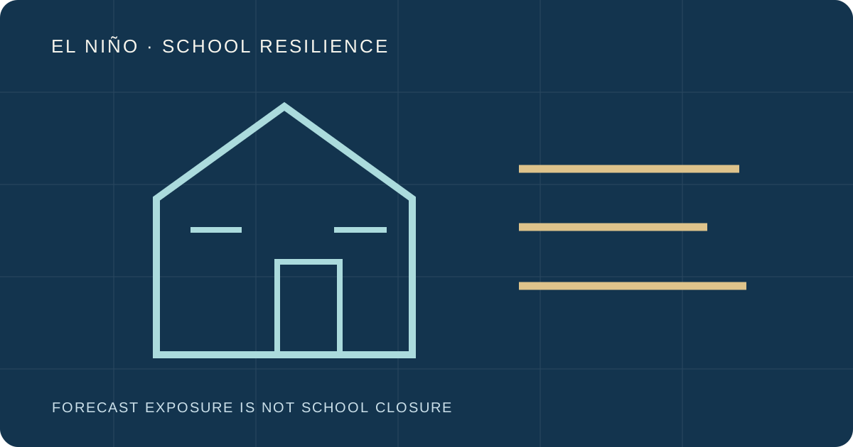
Original abstract schoolhouse, weather and learning-continuity symbols
Education • GLOBAL / EDUCATION AND CLIMATE PREPAREDNESS

347 Million Children Face El Niño Weather Risk. That Does Not Mean 347 Million Are Out of School.

UNICEF and Save the Children issued guidance for schools facing a possible strong El Niño. Their 347-million estimate describes children in forecast-risk areas, not confirmed school closures or learning losses.

EducationUNICEF
9 min read ↗
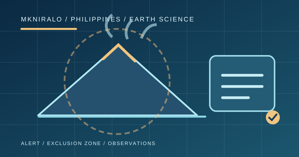
Original editorial vector of the Mayon volcanic cone, measured ash plume and mapped exclusion radius
World • PHILIPPINES / VOLCANO RISK

Mayon Volcano's Alert Rose to Level 3. What Does That Warning Really Mean?

A six-minute eruption on October 30 lifted Mayon to Alert Level 3. The warning indicates greater potential danger, not a precise forecast of the next eruption or an established final evacuation count.

PhilippinesMayon Volcano
9 min read ↗