EDITORIAL BYLINE

Veda

South Asian Weather and Disaster Preparedness Observer

Distinguish forecasts, observed weather, model probabilities and verified emergency actions. Coverage is presented with calm, public-safety focused and date-precise without predicting outcomes as certainties.

Tropical CyclonesSouth AsiaNatural HazardsDisaster PreparednessWeather Warnings

Articles under this byline

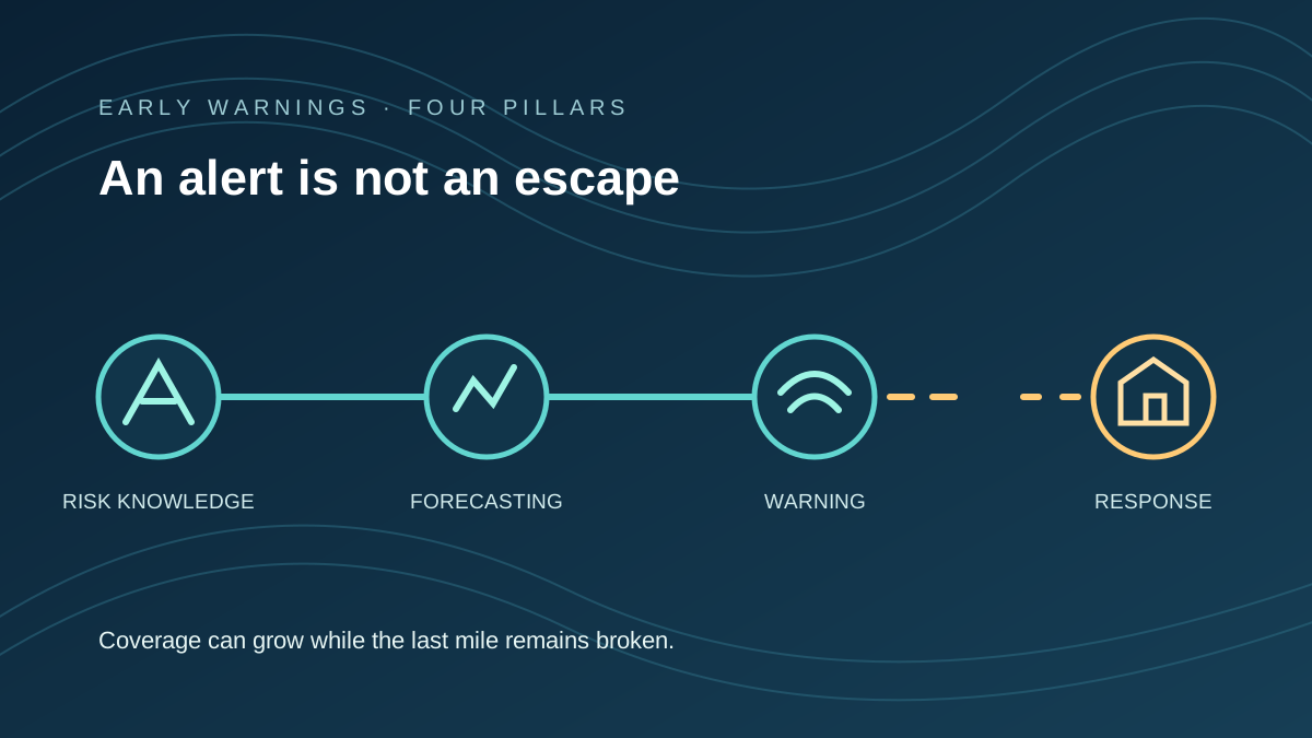
Abstract four-stage disaster warning pathway, with the last link interrupted before reaching a shelter.
Environment • Climate Adaptation & Public Safety

Early Warnings Are Expanding. Reaching People Is Not the Same as Keeping Them Safe.

More countries report early-warning capacity, but a draft four-pillar count and new survey evidence reveal the distance between an alert and an actionable escape.

Early Warning SystemsDisaster Preparedness
6 min read ↗
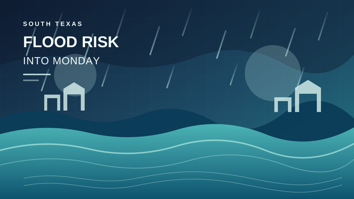
An abstract illustration of heavy rain falling over layered South Texas floodwater, with a rising waterline and distant geometric rooftops beneath a storm-dark sky.
World • Texas · Flooding

Texas Flood Threat Persists as Heavy Rain Continues Into Monday

Heavy rain continued across southern Texas on Sunday, with flood risks expected to persist into Monday. The National Weather Service reported radar-estimated totals of 4–8 inches in a broad corridor, while warning that additional rain could worsen flooding in low-lying areas.

TexasFlooding
6 min read ↗
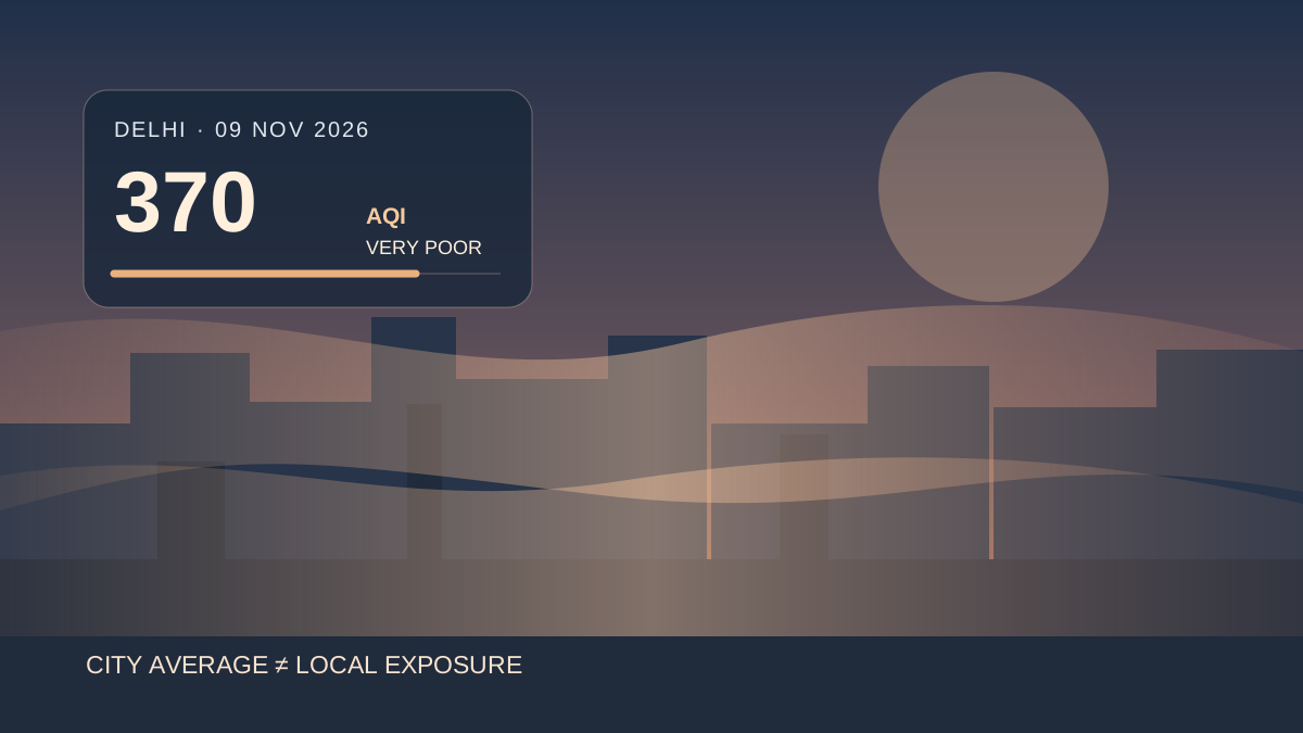
Original vector illustration of an abstract Delhi skyline under layered haze, with an AQI gauge showing 370 and no third-party imagery.
Environment • INDIA / POST-DIWALI AIR QUALITY

Delhi's Air Quality Hits 370 After Diwali, With Severe Pollution Across Neighbourhoods

Delhi registered an official AQI of 370 at 9 a.m. on 9 November, while several neighbourhoods crossed the severe threshold and missing station data complicated comparisons.

DelhiDiwali
6 min read ↗
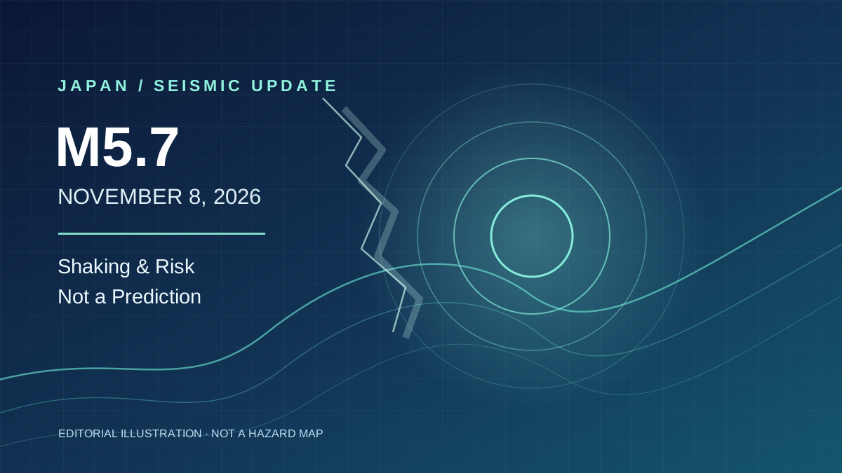
Original abstract seismology-inspired vector art. Layered navy-blue fields, teal contour lines and concentric wave rings convey tremor and preparedness, not actual earthquake locations or measured intensity.
World • JAPAN / EARTHQUAKE & RISK

Japan's M5.7 Earthquake: What the Shaking Means—and What It Does Not Say About the Nankai Trough

A magnitude 5.7 earthquake struck western Shizuoka on November 8. Strongest shaking was in Aichi, injuries and rail disruption were reported, and JMA cautioned against reading the event as a Nankai Trough prediction.

Japan EarthquakeShizuoka
6 min read ↗
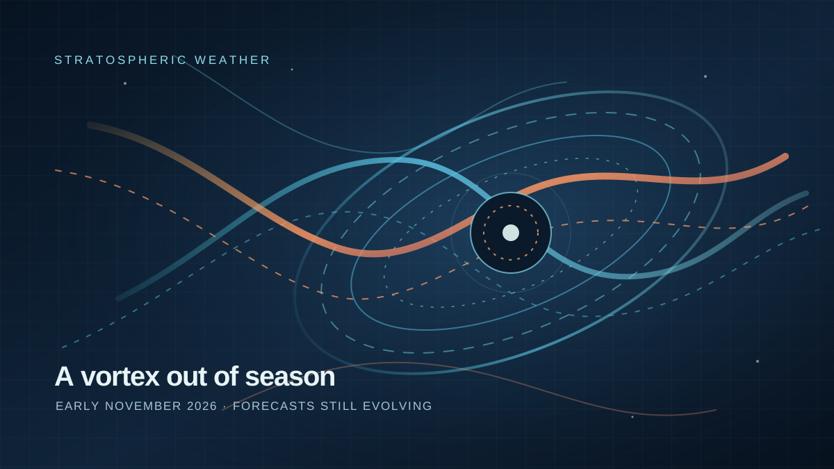
An original abstract illustration of blue atmospheric wind bands bending around a dark polar centre, crossed by warm amber wave arcs to suggest an unusually early stratospheric disruption; no geographic map or real-world imagery.
Environment • Weather · Polar Vortex

Polar Vortex Faltering Weeks Earlier Than Ever Recorded

Meteorologists are tracking an unusually early disruption of the Arctic stratospheric polar vortex. The circulation is already exceptionally weak for early November, while ECMWF-based forecasts point to a possible wind reversal later this month. The signal is striking, but a major warming and any resulting cold spell remain conditional—not settled outcomes.

Polar VortexSudden Stratospheric Warming
6 min read ↗
Original abstract vector illustration of luminous concentric cyclone bands and a curved eastward atmospheric flow against a deep blue ocean-toned background; not a map, satellite image, forecast chart, agency emblem, or observed storm depiction.
World • WESTERN PACIFIC / FORECAST WATCH

Typhoon Cempaka Is 2026’s 32nd Storm. Why Japan’s Ogasawara Islands Are Watching

Typhoon Cempaka became the 32nd numbered typhoon of 2026 on November 7. A November 7 JMA bulletin places it over waters south of Japan, with a possible turn toward the Ogasawara Islands next week.

Typhoon CempakaOgasawara Islands
6 min read ↗
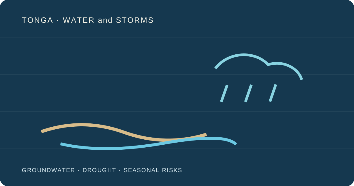
Original abstract design of island groundwater layers, dry terrain and distant storm clouds; not a scientific map
Environment • TONGA / WATER SECURITY AND STORM PREPAREDNESS

Tonga Faces Drought and Cyclone Risks Together. What Is Already Measured?

Tonga's October groundwater assessment shows severe local freshwater stress, while meteorologists warn that the 2026–27 cyclone season could be active. Measured water conditions and future storm probabilities are different kinds of evidence.

TongaDrought
9 min read ↗
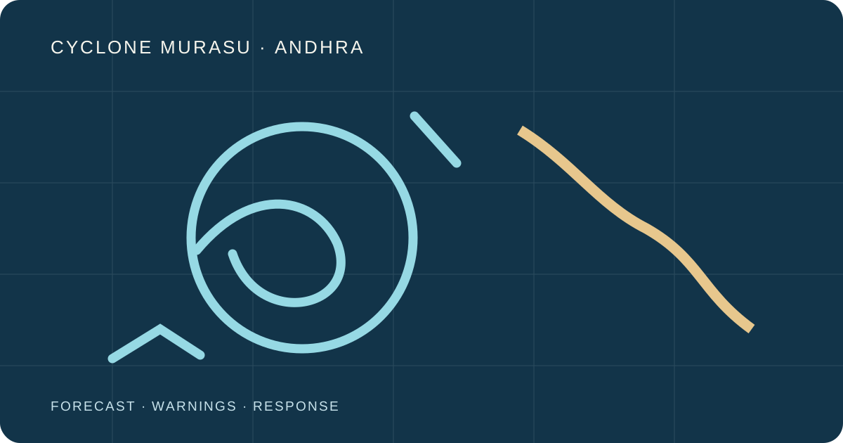
Original abstract concentric storm bands approaching a stylised coastline, not satellite imagery or an official forecast map
Environment • INDIA / CYCLONE UPDATE

Cyclone Murasu Crosses Andhra Coast. What Is Known About the Early Damage?

Cyclone Murasu crossed south Andhra Pradesh between 3:30 and 5:30 a.m. IST on November 3. Early reports include uprooted trees and power poles; the first Reuters account reported no deaths or injuries at that time.

IndiaCyclone Murasu
10 min read ↗